Automatic landslide mapping from satellite imagery with a topography-driven thresholding algorithm
- Published
- Accepted
- Subject Areas
- Computational Science, Spatial and Geographic Information Science
- Keywords
- Landslides, Landslide Mapping, Remote Sensing, Satellite Imagery, Slope Units, Automatic Mapping, Mapping, Thresholding, Classification, Image Classification
- Copyright
- © 2018 Alvioli et al.
- Licence
- This is an open access article distributed under the terms of the Creative Commons Attribution License, which permits unrestricted use, distribution, reproduction and adaptation in any medium and for any purpose provided that it is properly attributed. For attribution, the original author(s), title, publication source (PeerJ Preprints) and either DOI or URL of the article must be cited.
- Cite this article
- 2018. Automatic landslide mapping from satellite imagery with a topography-driven thresholding algorithm. PeerJ Preprints 6:e27067v2 https://doi.org/10.7287/peerj.preprints.27067v2
Abstract
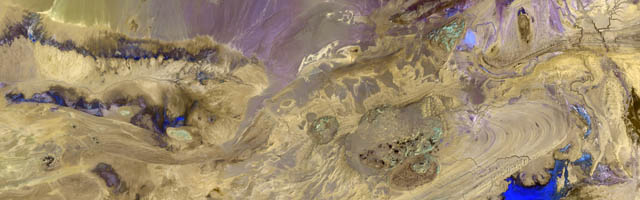
We present an improvement of image classification for landslide mapping by “thresholding”, using topographic information to determine multiple thresholds. We devised a two-steps procedure for automatic classification into landslide or no landslide categories of a change-detection map obtained from satellite imagery. Requirements of the proposed procedure are knowledge of the occurrence of a landslide event, availability of a pre- and postevent pseudo-stereo image pair and a digital elevation model. The novel feature of the approach is represented by the use of slope units as topographic-aware subsets of the scene within which we apply a multiple thresholding method to classify a landslide class membership tuned on the sole landslide spectral response. The method is fully automatic after site-dependent operations, required only once, are performed, and exhibits improved classification performance with limited training requirements. Our automatic procedure is a step forward towards systematic acquisition of landslide events and real-time landslide mapping from satellite imagery.
Author Comment
Replaced PDF with LaTeX template for peer-review submission; updated references; other minor changes.